FORCLIME
Forests and Climate Change ProgrammeTechnical Cooperation (TC Module)

Select your language
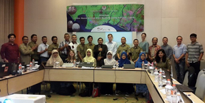
FORCLIME in cooperation with Kemitraan has supported the Ministry of Environment and Forestry (MoEF) to conduct a training on radar-based burned area mapping using the European radar satellite Sentinel-1 whose data is available free of charge. This training is one of efforts in forest fire prevention. 21 participants from the MoEF [(DGs of Forest Resources Inventory and Monitoring and Climate Change, the forest consolidation centre-BPKH- in Pontianak, the Samarinda training centre-BDLHK)]; the National Institute of Aeronautics and Space-LAPAN; the Provincial Forest Service of West Kalimantan; the Forest Management Unit (KPH) of Kubu Raya participated in the 5-day training on 21-25 January 2019 in Sentul (West Java) to learn about radar pre-processing, classification of radar data and develop first ideas how a radar-based burned area product can be integrated with a burned area map based on optical data.
An important part of Indonesia's fire prevention efforts is mapping the burned area regularly. Mapping the entire territory of Indonesia is challenging because of the enormous size of the country as well as the and the tropical climate with frequent and continuous cloud cover throughout the year which limits the use of optical remote sensing data to a certain extent. Radar-based burned area products can improve the ability to detect burned areas and complement the burned area map based on optical Landsat data produced by the Ministry of Environment and Forestry. Radar data are almost weather independent and can penetrate clouds and smoke which pose the main limitations for the availability of optical satellite images.
For more information, please contact:
Stephanie Wegscheider, Adviser for GIS
Robbie Weterings, Adviser for GIS
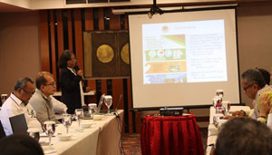
FORCLIME Technical Cooperation (TC) Module starts the new year 2019 with an internal coordination meeting on 15-16 January in Jakarta. Objective of the meeting is to reflect what have been done and achievements in the previous year and planning for current year, including an exit strategy after the Programme is completed in 2020. During the meeting some updates were given, presented by Bappenas on its policies related to the forest sector, the FORCLIME Financial Cooperation (FC) Module on its progress at FORCLIME pilot districts, the MoEF International Cooperation and Planning Bureaus providing information on policies related to international cooperation and implementation of bilateral programmes. Additionally, the relevant units of the GIZ country office presented regulations related to HR and Travel.
For more information, please contact:
Mohamad Rayan, Advisor for Crosscutting Issue and Conflict Management
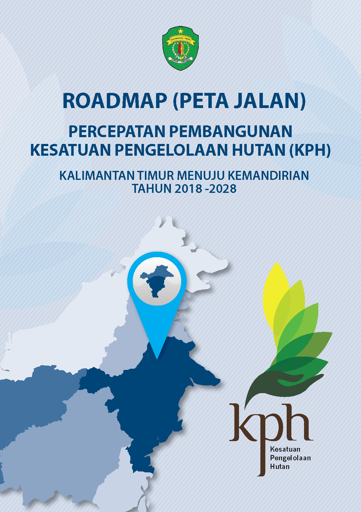
The East Kalimantan Provincial Forestry Service, supported by its partners in Forest Management Units (KPH) development, such as GIZ, Global Green Growth Institute, The Nature Conservancy, WWF-Indonesia, the Regional Council on Climate Change, publishes a book "Roadmap for Accelerating the FMU Development towards independent FMUs" (in Indonesian only). Reference for the preparation of the book is the decree of the Governor of East Kalimantan No 522 / K.269 / 2018. This book contains the direction of implementation, strategies, programmes and action plans for accelerating the FMU development on the road to independent FMUs that include infrastructure, investment, human resources, monitoring, supervision and guidance. In addition, this book also provides guidance on criteria and indicators to achieve independent FMUs in accordance to the main tasks and functions of forest management units.
Tunggul Butarbutar, Province Coordinator East Kalimantan
Suprianto, Technical Adviser for Sustainable Forest Management
Lutz Hofheinz, Strategic Area Manager, Forest Management Unit Development

